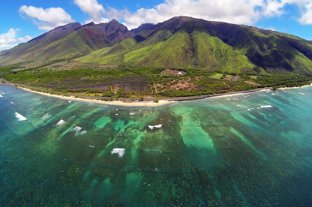
The ocean is a source of healing, sustenance and recreation, supporting both the physical and mental health of our community. The devastating fires, however, have untold impacts to our nearshore waters along West Maui and South Maui, and East Lānaʻi.
In addition to the toxins and pollutants that immediately leaked from the sunken boats and destruction of Lāhainā Harbor, the ash that is covering the burnt area of Lāhainā Town is contaminated with heavy metals and other toxins that are dangerous for humans to breathe or be exposed to. This toxic ash still has the potential to become airborne with the winds and is a threat for inhalation. The ash can also pollute our water when it is deposited into our streams and ocean - either through the air or with stormwater when it rains. Of particular concern are lead, asbestos and arsenic, along with a host of other heavy metals, PAH’s (carcinogens formed from the burning of materials at high heat), and nutrients like nitrogen and phosphorus that can harm coastal ecosystems. Keep in mind that some of these toxins can accumulate in fish and limu. Researchers are evaluating these concerns, but it will take time to understand the extent to which our ocean food sources may be contaminated with post-fire pollutants.
How Are Toxins and Pollutants Being Contained?
State, local, and federal agencies are currently working to contain pollutants and minimize the amount of toxins that enter nearby waterways. The County of Maui and emergency response crews, for example, have surrounded all street-level storm drains with protection devices like biosocks (that slow and filter runoff). The U.S. Coast Guard has also installed eight storm drain outfalls entering the ocean within the impacted areas of Lāhainā town. The U.S. Environmental Protection Agency was further planning to apply a “soil tackifier” to prevent winds and rain from kicking up toxic ash and pollutants that would potentially run off into the ocean. Combined, these preventative measures are designed to reduce sediment runoff and absorb pollutants prior to impacting ocean environments. Information and updates are hard to come by, though, while access to the area remains restricted during the recovery phase.
Despite these efforts, vegetation in both Lāhainā and Kula that would typically absorb rainfall has been burned away. The lack of vegetation in these areas increases the possibility of mudslides and flash flooding, both of which could be contaminated with toxins. This is a concern not only in the coastal areas adjacent to Lāhainā, but also Kīhei where the lack of stabilizing vegetation in Upcountry gulches could further exacerbate flooding and toxic pollution downslope. At this time, private property owners and community groups are seeking ways to quickly replant and stabilize the affected gulches.
Even with erosion control and pollution prevention measures, there are still many unknowns related to the toxicity and safety of the ocean water to both humans and the environment - particularly around Lāhainā town. As noted above, the initial fire blew toxic ash over the water, which was then dispersed throughout the ʻAuʻau Channel that separates the islands of Maui and Lānaʻi. Additional winds in the days and weeks that followed also likely led to pollutants entering the ocean.
While it is likely that a number of the potential toxins and pollutants from the fire have been diluted by ocean mixing, there is not enough information or testing to know exactly how far away from the burn zone the ocean is safe for swimming, diving, or surfing. The U.S. Geological Survey has set up water quality monitoring stations in Kahoma Stream and both community science groups and researchers are collecting water quality samples around the Lāhainā area. As data results come back and water quality sampling plans are refined, we should have better information available to help make decisions on where it is safe to swim and recreate.
Blue Water Task Force Results
As part of its Blue Water Task Force Program, the Surfrider Foundation Maui Chapter is analyzing water quality samples along West and South Maui for enterococcus, a fecal indicator bacteria that can indicate the presence of human wastewater or contamination from warm-blooded mammals like pigs and goats. These samples are being collected by the community science group Hui O Ka Wai Ola (HOKWO) and passed off to our Surfrider lab for analysis. HOKWO has been sampling West and South Maui shorelines since 2017 for a suite of water quality parameters like sediments, nutrients, and other pollutants from land-based sources that might be having a negative impact on water quality.
Our initial results from Lāhainā (taken August 29 and August 30, 2023) show that bacteria levels meet state health standards, though does not provide information about the presence of other toxins or pollutants associated with the fires. In South Maui, samples from August 29, 2023 exceeded state health standards at Kalepolepo Beach (to the west of the public beach park and fish pond).
Suggested Areas to Avoid
The concentrations of potential toxins and contamination from the fires is more likely to be higher the closer you get to the burnt area. With distance from Lāhainā, dispersal of contaminants with ocean currents could be reducing the health risk. People will need to consider their own risk adversity before making decisions on whether to go into the water or not, at least until we have more information and guidance from health authorities. Over the next few months, we definitely recommend avoiding beaches near Lāhainā during high wind events - especially if the wind is blowing offshore. Particular caution should be taken after any heavy rain events and when the water is brown. For up-to-date water quality advisories, check the Hawaiʻi Department of Health Clean Water Branch Environmental Health Portal.
Meanwhile, Surfrider Maui Chapter will continue to ask questions of our local, state and federal authorities to better understand what precautionary measures are being taken to protect our community and environmental health. We will also be collaborating with our community and academic partners to fill in the gaps so we can all make informed decisions on where and when it's safe to get back into the water. Stay tuned to our social media channels for new water testing results as they are available.